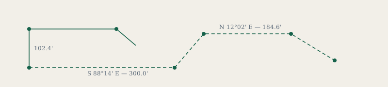
We mark property lines, prepare plats for permit applications, and produce topographic surveys for builders and landowners. Two licensed surveyors, one field crew, and no subcontracting.
What we do
Boundary surveys. Locating and monumenting the legal corners of a parcel. This is the survey a fence dispute needs, and the one a title company will ask for.
Topographic surveys. Elevation, contours, existing structures and utilities, drawn to the detail an engineer or architect can build from.
ALTA/NSPS land title surveys. For commercial transactions, prepared to the current national standard.
Elevation certificates. Usually for flood insurance. Turnaround is short because we hold the benchmark data for most of the county already.
How a survey works
| Stage | Typical time | What we need from you |
|---|---|---|
| Records research | 2–5 days | Deed, and any prior survey you hold |
| Field work | Half a day to two days | Access, and any locked gates unlocked |
| Drafting and review | 3–7 days | Nothing |
| Delivery | Same day as review | Where to send the sealed plat |
Wooded parcels and old deeds with metes-and-bounds calls take longer. We will say so before starting rather than after.
Rates
Residential boundary surveys on platted lots start at a flat fee. Acreage, rural parcels and anything with a disputed line is quoted after the records research, because that is the first point at which an honest number exists.
We do not charge for the initial conversation, and we will tell you when you do not need a survey at all.
Contact
Office hours are Monday to Thursday, 8:00 to 4:30. Field crews are usually out, so email reaches us sooner than the phone.
Meridian Land Survey
418 Cutler Street, Suite 2
Office: (207) 555‑0148